Creating Maps That Can Be Shared and Used
We use GIS (Geographic Information System) software to create digital maps of land and water
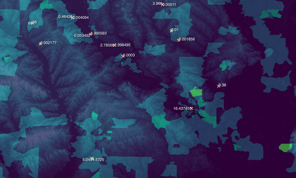
Chimaera Sight can handle the process from start to finish of finding solid data from reputable sources all the way to mapping it out with compelling and user friendly visuals
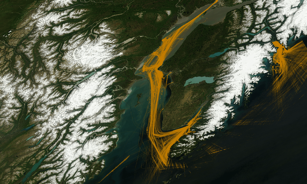
Unlike most mapping firms that typically give you static images we can also make these maps animated and even interactive. We are a new kind of tech firm adapted to a world in which natural resources are threatened and attention is driving the market
We’ve all felt the pain of sitting through slide after slide of bland powerpoint presentations. That’s why we aim to bring an engaging aesthetic approach to our scientific data. We can give you the tools you need to not only inform and convince but captivate your stakeholders